There’s a lot of data that I’ve been using the old Medina County GIS system to access because I couldn’t figure out how to get it from the new Medina County GIS platform — finally got it!
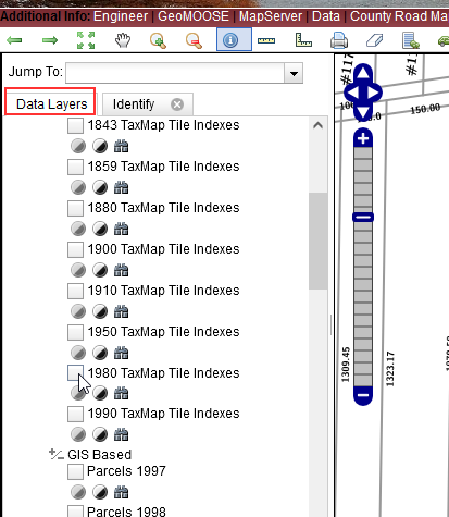
The first step is to select a data layer that has linked data — this could be surveys, old tax maps, building permits, septic permits, etc.
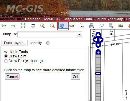
Once a layer is selected click on the “Identify” icon — a blue circle with a letter I inside of it. I’ve been using “Draw Point” — this changes your cursor
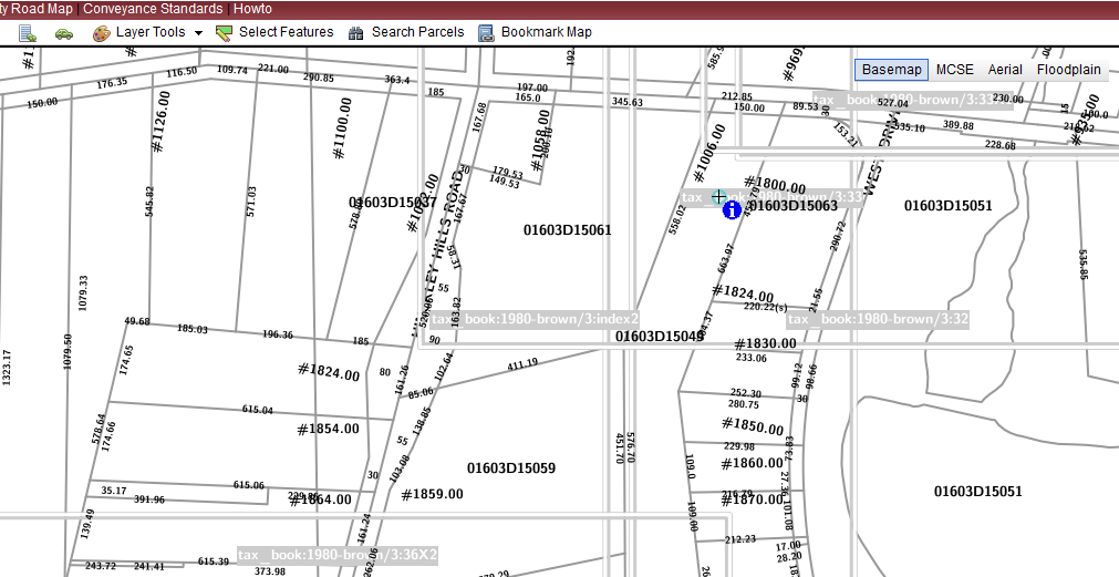
On the map, draw your point on the icon for the data element — for tax maps, this is a gray box with some text in it. Building, septic, etc have colored shapes.
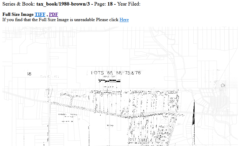
The trick, then, is to scroll down on the “Identify” tab — it’ll always start with the general parcel information (ownership, parcel size). But, if you scroll down, there will be new sections specific to the data layer you selected. Here, it’s the archived Tax Map scans. Click one of the “View” links …
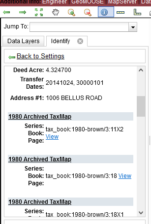
Voila — you’ll have the information.