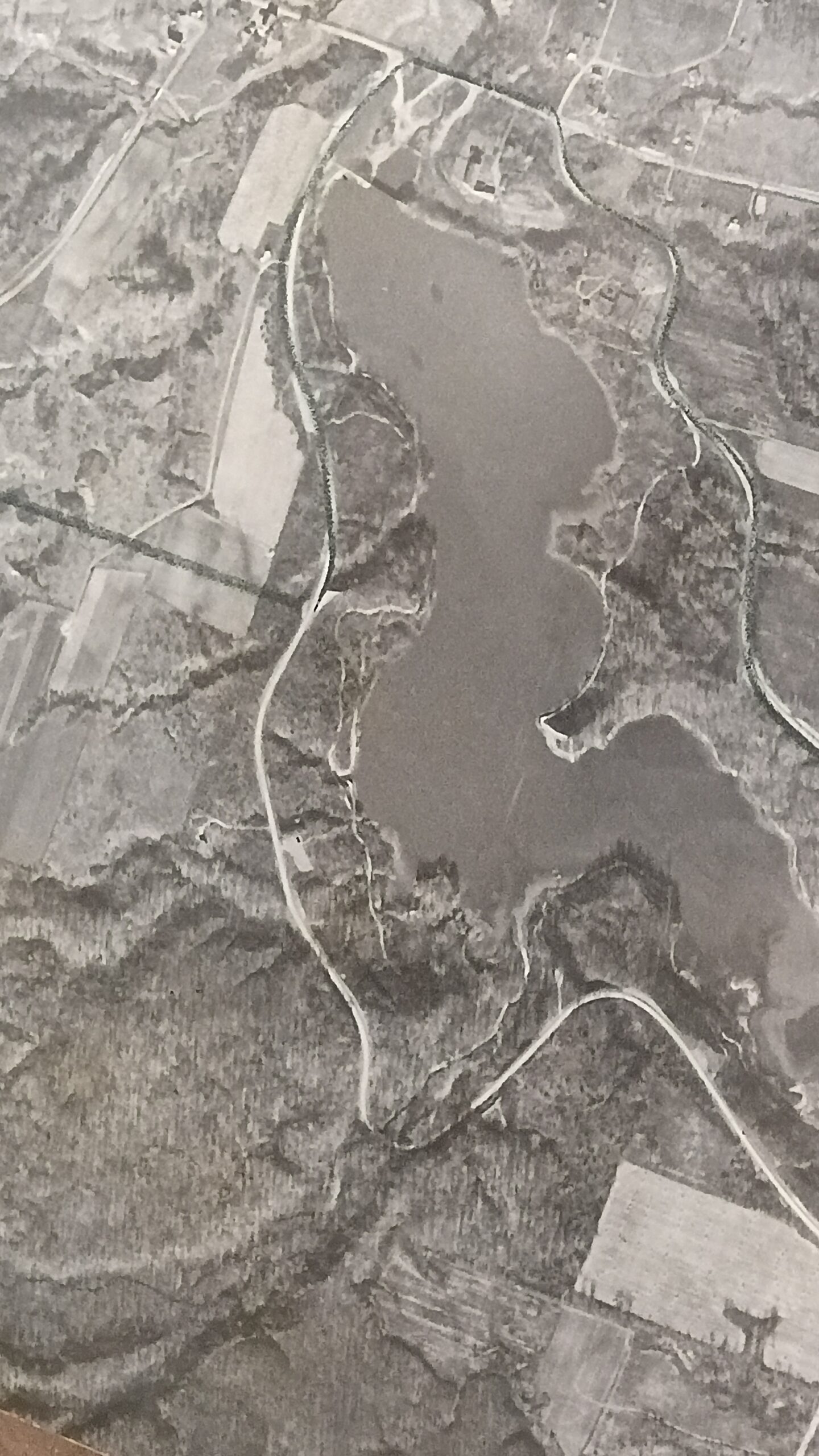
We’ve tracked our property history through the recorder’s office, but I’ve discovered that the Medina library has USDA aerial photos from the 1930’s, 1950’s, 1960’s, and 1970’s (they skipped the 1940’s due to the war). There is an index image that provides the photo identifier for each rectangle — so we’d take the index photo, find our number, and then pull the detail picture. Our property in the 1930’s!